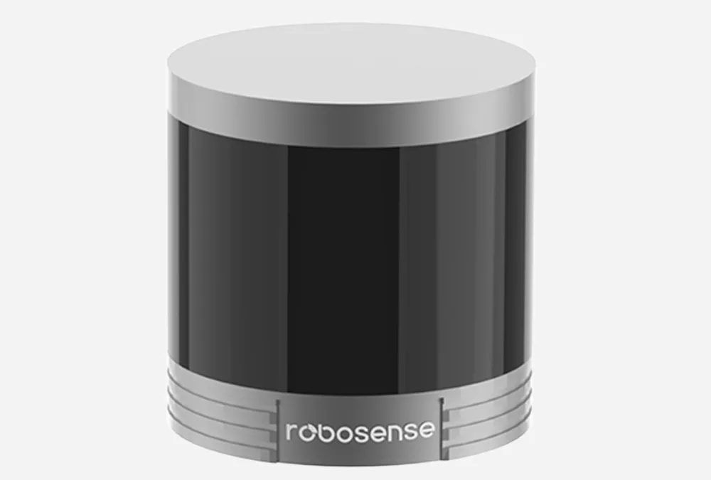
Robosense sets new bar for affordable, powerful LiDAR sensors
By Scott Simmie
Building or modifying a robot?
Specifically, are you working on something with autonomy that needs to understand an unfamiliar environment? Then you’re likely looking at adding two key sensors: A depth camera and a LiDAR unit.
LiDAR (as most of you likely know), scans the surrounding environment with a continuous barrage of eye-safe laser beams. It measures what’s known as the “Time of Flight” – meaning the time it takes for the photons to be reflected off surrounding surfaces and return to the LiDAR unit. The closer that surface is, the shorter the Time of Flight. LiDARs calculate the time of each of those reflected beams and convert that into distance. Scatter enough of those beams in a short period of time (and LiDARs do), and you get an accurate digital representation of the surrounding environment – even while the robot is moving through it.
This is particularly useful for autonomous missions and especially for Simultaneous Localisation and Mapping, or SLAM. That’s where a LiDAR-equipped robot can be placed in a completely unfamiliar (and even GPS-denied) environment and produce a point-cloud map of its surroundings while avoiding obstacles. Quality LiDARs are also capable of producing 3D precision scans for a wide variety of use-cases.
All great, right? Except for one thing: LiDAR sensors tend to be very expensive. So expensive, they can be out of reach for an R&D team, academic institution or Startup.
There is, however, a solution: Robosense.
The company produces LiDAR sensors (both mechanical and solid-state) that rival the established players in the market. And they do so for about one-third of the cost of the industry heavyweights.
“The performance of Robosense is outstanding – absolutely on par with its main competitors in North America,” says InDro Account Executive Callum Cameron. “We have been integrating Robosense LiDAR on our products for about two years, and their performance is exceptional.”
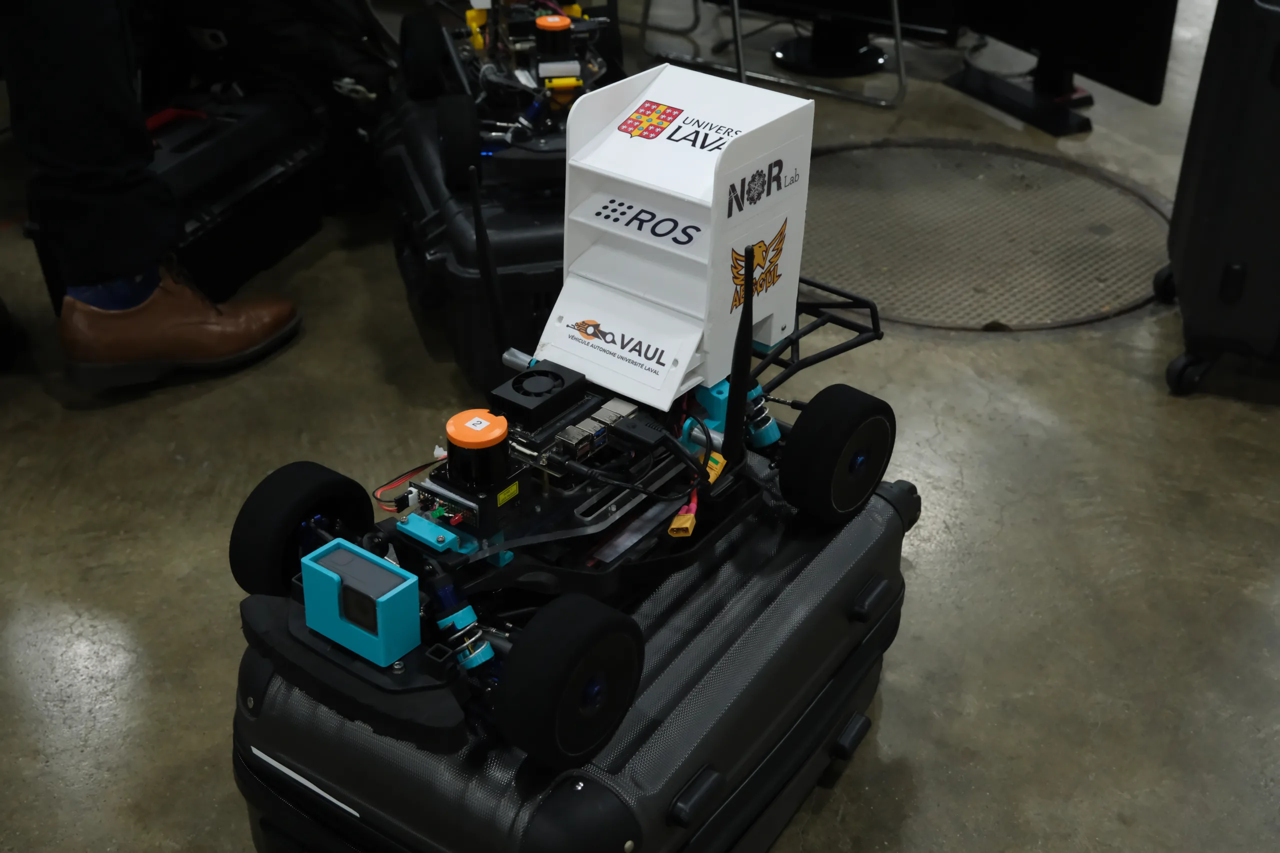
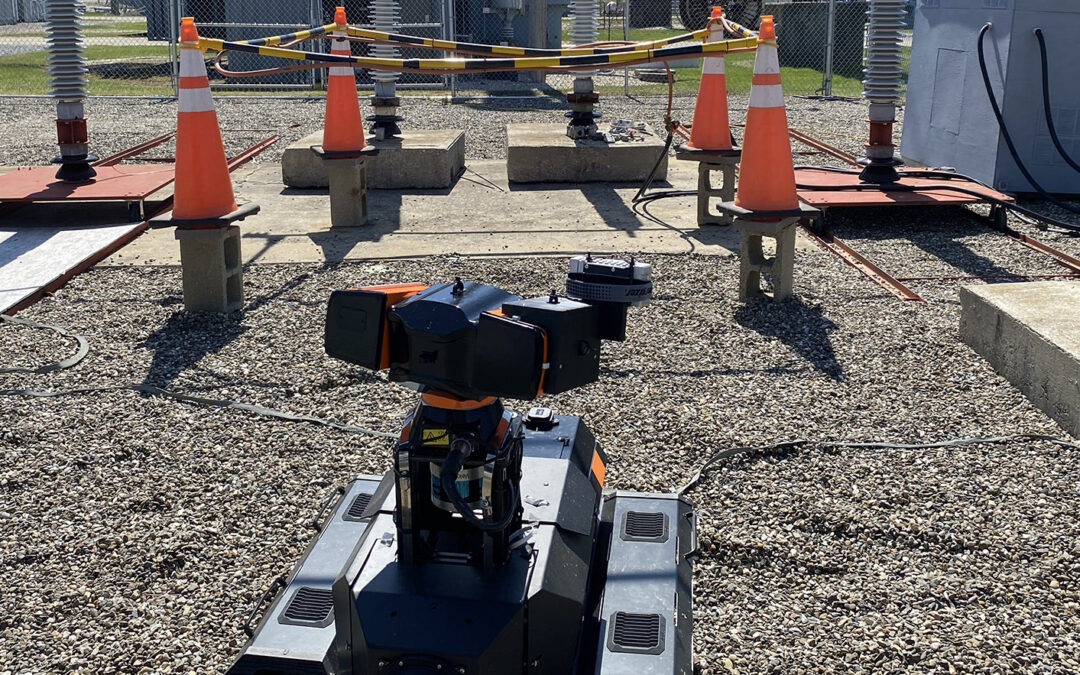
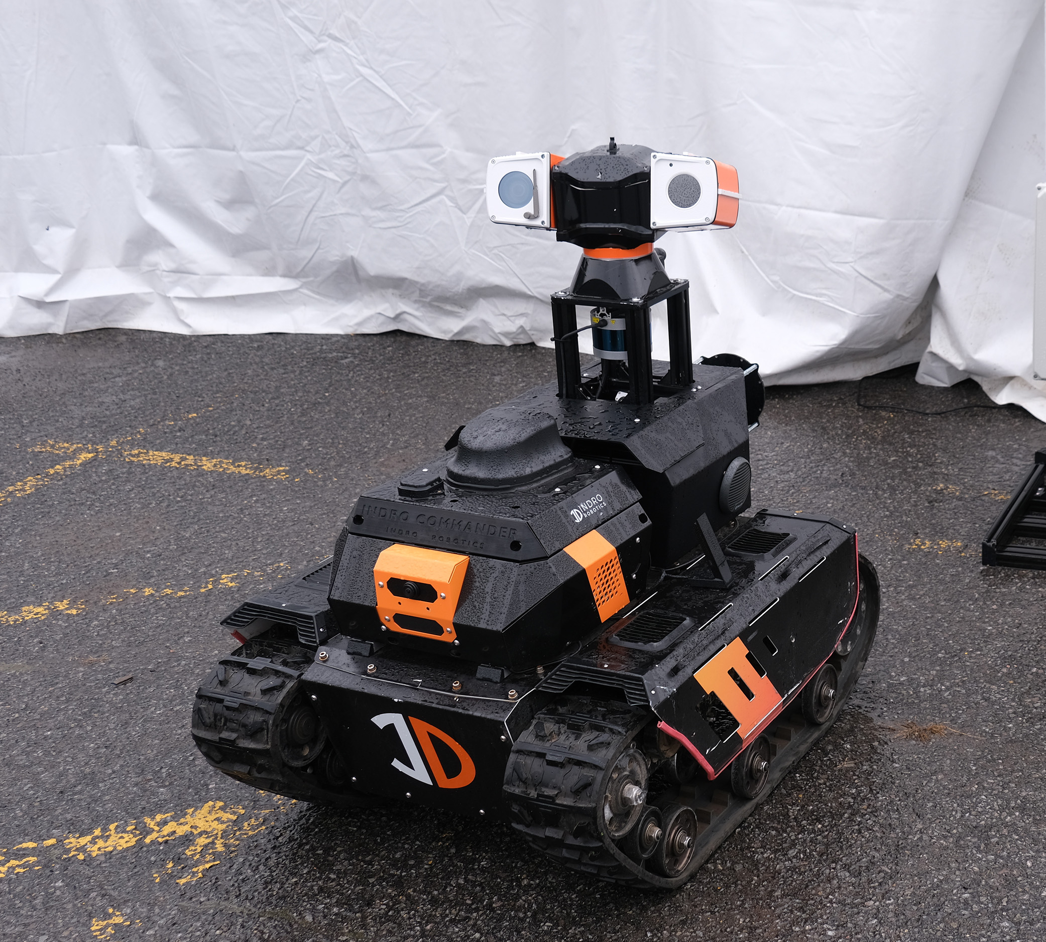
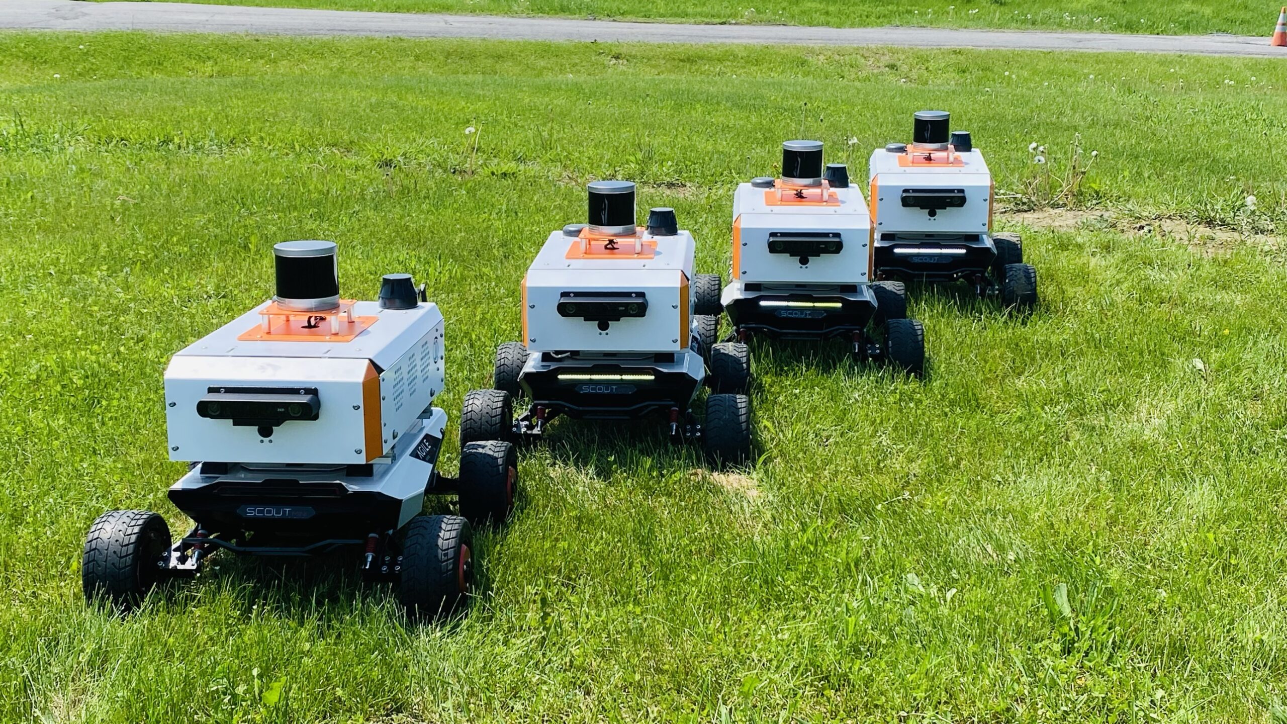
Below: A fleet of four robots, equipped with Robosense LiDAR, which recently shipped to an academic client.
ROBOSENSE
The company might not yet be a household name (unless your household has robots), but as of May 2024 the firm had sold 460,000 LiDAR units. Its sensors power a large number of autonomous cars, delivery vehicles and other robots – and it’s the first company to achieve mass production of automotive-grade LiDAR units with its own in-house developed chip.
The company was founded in 2014, with some A-level engineering talent – and it’s been on a stellar trajectory ever since. One of the reasons is because Robosense produces all three core technologies behind its products: The actual chipsets, the LiDAR hardware, and the perception software. We’ll let the company itself tell you more:
“In 2016, RoboSense began developing its R Platform mechanical LiDAR. One year later, in 2017, we introduced our perception software alongside the automotive-grade M Platform LiDAR sensors tailored for advanced driver assistance and autonomous driving systems. We achieved the start-of-production (SOP) of the M1 in 2021, becoming the world’s first LiDAR company to mass-produce automotive-grade LiDAR equipped with chips developed in-house,” says its website.
The company now has thousands of engineers. And it didn’t take long before the world noticed what they were producing.
“As of May 17, 2024, RoboSense has secured 71 vehicle model design wins and enabled 22 OEMs and Tier 1 customers to start mass production of 25 models. We serve over 2,500 customers in the robotics and other non-automotive industries and are the global LiDAR market leader in cumulative sales volume.”
The company has also received prestigious recognition for its products, including two CES Innovation awards, the Automotive News PACE award, and the Audi Innovation Lab Champion prize.
“This company has standout features, including Field of View, point cloud density and high frame rates,” says Cameron. “If you look at that fleet of four robots we recently built, using the competition those LiDAR units alone would have come to close to $80,000. The Robosense solution cost roughly one-quarter of that with similar capabilities.”
And the factories? State of the art. Though this video focuses on its solid-state LiDAR, Robosense uses the same meticulous process for its mechanical units:
LiDAR FOR EVERY APPLICATION
Robosense produces many different LiDAR sensors. But what particularly appeals to us is that the company has (excuse the pun) a laser-like focus on the robotics industry. Its Helios multi-beam LiDAR units have been designed from the ground up for robots and intelligent vehicles. There are customisable fields of view, depending on application, and a near-field blind-spot of ≤ 0.2 metres. In addition, Helios LiDAR comes in 16- and 32-beam options depending on point-cloud density and FOV requirements. Both are capable of functioning in temperatures as low as -40° or on a scorching day in the Sahara desert. There’s also protection against multi-radar interference and strong light (which can be an issue with LiDAR). You can learn more about its features here.
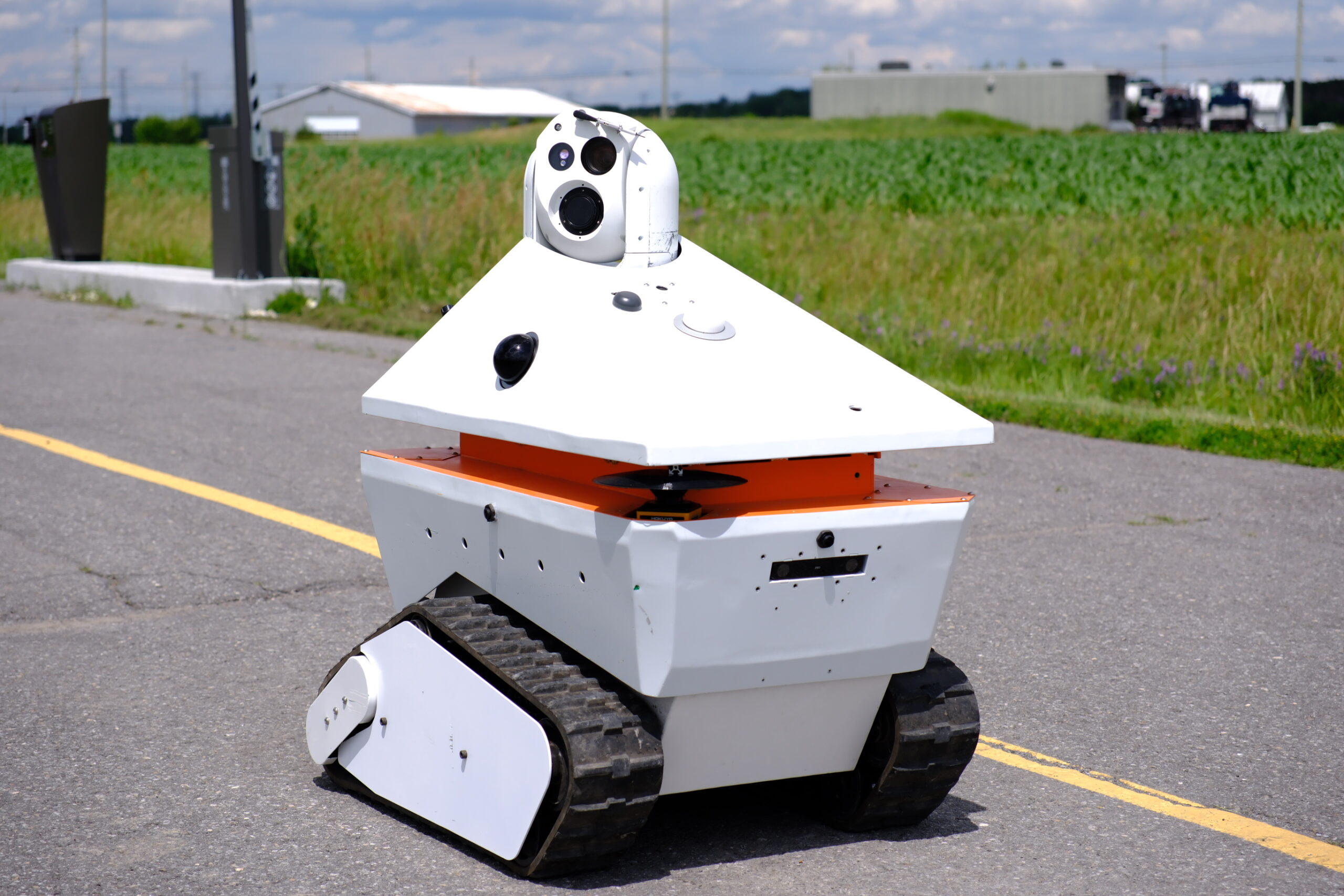
Its Bpearl unit proves that very good things can indeed come in small packages. With a 360° horizontal and 90° vertical hemispherical FOV, it’s been designed for near-field blind spots, capable of detection at ≤10 cm. That’s why we selected it for a robot designed to inspect cycling lanes for hazards (while avoiding cyclists, of course). We actually have two Bpearls on that robot (one on each side), since detecting blind spots and avoiding other obstacles is so critical to this application.
“We’ve integrated both the Bpearl and Helios LiDAR units into multiple different robots and the performance has been excellent, even under adverse conditions,” says Cameron. “Obstacle avoidance has been outstanding, and SLAM missions are a snap.”
Below: This InDro robot features two 32-beam Robosense Bpearl LiDAR units. You can see one of them – that tiny bubble on the side (and there’s another one on the opposite side):
THE THREE “D”s
You’ve likely heard this before, but robots are perfect for jobs that are Dirty, Dull or Dangerous – because they remove humans from those scenarios. Robots, particularly inspection robots, are often subjected to extremes in terms of weather and other conditions.
So this is a good place to mention that if a Robosense LiDAR encounters fog, rain, dust or snow it has a de-noising function to ensure it’s still capturing accurate data and that your point cloud isn’t a representation of falling snow. All of the Robosense LiDAR sensors have outstanding Ingress Protection ratings.
Because adverse conditions are quite likely to occur at some point during a robotic mission, Robosense puts its products through absolutely gruelling tests. Hopefully your robot won’t encounter the scenarios seen below, but if it does – the LiDAR will keep working:
INDRO’S TAKE
We take pride in putting only the highest quality sensors into our products.
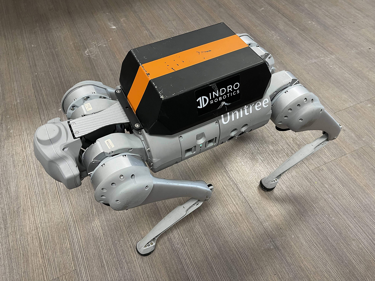
Prior to adopting Robosense as our “go-to” LiDAR about two years ago, we were using big-name products. But those products also came with a big price tag. When we discovered the quality and price of Robosense LiDAR units, it was an obvious choice to make the switch. We have shipped multiple Robosense-enabled robots to clients, saving them thousands of dollars – in one case, tens of thousands – while still capturing every bit of data they require. Robosense is now our go-to, even on our flagship products. (We recently did a demonstration of one of our newer Helios-equipped autonomous quadrupeds to a high-profile client; they were amazed with the results.)
“Robosense is every bit the equal of the heavyweight LiDAR manufacturers, without the downside of the high cost,” says InDro Robotics CEO Philip Reece. “The field-of-view, point cloud density and quality of construction are all state-of-the-art, as are the manufacturing facilities. What’s more, Robosense continues to push the envelope with every new product it releases.”
Interested in learning more, including price and options? Contact Account Executive Callum Cameron right here, and he’ll give you all the info you need.

