Spexi announces “Spexigon” – a global fly-to-earn platform

Spexi announces “Spexigon” – a global fly-to-earn platform

Vancouver-based Spexi Geospatial has some news – and it’s big.

The company has announced a plan, and a platform, to capture high-resolution aerial data of the earth with drones. Drone pilots will be able to fly to earn crypto currency – or even dollars.

The long-term goal? Well, picture crystal-clear data sets of cities, infrastructure, and even rural settings. With each individual pilot capturing data from different locations, Spexigon will assemble it over time to form a global jigsaw puzzle – and sell parts of that dataset to clients.

We’ll get into more details shortly, but Spexi’s plan has some strong backers – including InDro Robotics.


News release


News of Spexigon came in the form of an announcement. The company revealed it had secured $5.5 million USD in seed funding “to pursue our vision of collecting Earth’s most important data with drones.” The funding round was led by Blockchange Ventures, with other investing by InDro Robotics, Protocol Labs, Alliance DAO, FJ Labs, Dapper Labs, Vinny Lingham, Adam Jackson, and CyLon Ventures.

The same team that built Spexi – an easy-to use system for automated flight and data acquisition – is developing Spexigon. This brief video gives a “big picture” look at how it will work when it’s rolled out next year.

“Fly to earn”


A big part of what makes Spexigon’s plan so intriguing is what you might call incentivised crowd-sourcing. Anyone with a drone can download the forthcoming Spexigon app and fly an automated flight. The images will be uploaded to Spexigon to build the database – and the pilot will be rewarded.

“With our new Fly-to-Earn model, people who own consumer drones will be able to earn $SPEXI tokens and dollars while building a high resolution base layer of the earth,” reads the Spexigon announcement. “It is our hope that soon any organization or individual will be able to use the imagery collected by the Spexigon platform to make better decisions.”


Business model


You could think of this over time as like Google Earth, only with really sharp aerial imagery. Every time a pilot carries out a flight for Spexigon, that map will continue to fill in, building Spexigon’s database. Clients will purchase imagery online.

“This new base layer will enable governments and organizations of all sizes to make better decisions about real world assets like buildings, utilities, infrastructure, risk and natural resources, without requiring people on the ground,” continues the announcement.

“By using Spexigon, organizations that require high-resolution aerial imagery will no longer need to own their own drones or hire their own pilots. Instead, they’ll use our web and mobile app to search for and purchase imagery. Data buyers will then be able to use a variety of internal and external tools to put the imagery to use.”


For pilots


Spexigon says it will have online training when it launches. Pilots will learn how to use the app to carry out their flights – which, obviously, the pilots will monitor. Depending on the location, pilots can earn crypto currency or actual dollars. Some locations, obviously, will have greater value to Spexigon and its clients than others.

“The app will contain a map of the earth overlaid with hexagonal zones called ‘Spexigons’. Spexigons that are open and ready to fly will be easily visible so pilots can choose an area close to them and begin collecting imagery,” says the company.

“To ensure that imagery is captured in a safe, standardized, and repeatable way, our app controls each pilot’s drone automatically while they supervise the flight. Although our app will do the flying, pilots will always be in command and will have the ability to take back manual control at any time if need arises.”

Spexigon is now starting to build the app, and already has a small community emerging. You can join its Telegram channel here – and there’s also a Discord channel.

As for those ‘Spexigons’, the image below gives you an idea what those pieces of the puzzle might look like.

Spexi

InDro’s take


Since InDro Robotics is one of the backers of Spexigon, we obviously feel the plan is a good one.

It comes from the outstanding team that built Spexi from scratch into a user-friendly, automated system for capturing and crunching aerial data. We also believe drone pilots will embrace this unique “fly to earn” model – a global first.

“The Spexi team has already created an excellent and proven Software as a Solution product and clearly has the expertise in this space,” says InDro Robotics CEO Philip Reece. “I’m genuinely excited about the potential for Spexigon to become the ‘go-to’ database of high-quality aerial imagery from around the world.”

So are the rest of us.

Methane detection via drone with Aerometrix

Methane detection via drone with Aerometrix

By Scott Simmie


There’s no denying climate change. Whether it’s the recent and devastating floods in Pakistan, fires in Portugal – or the multiple rivers globally that have dropped to historically low levels – the planet’s equilibrium has been changing.

While carbon dioxide emissions get much of the press, methane is one of the most potent contributors to the problem of greenhouse gases.

“Methane has more than 80 times the warming power of carbon dioxide over the first 20 years after it reaches the atmosphere,” states the Environmental Defense Fund.

“Even though CO2 has a longer-lasting effect, methane sets the pace for warming in the near term.”

That’s a key reason why the detection of methane emissions has become a priority. It’s also a large part of why Aerometrix – a company specialising in methane detection using drones – was formed.

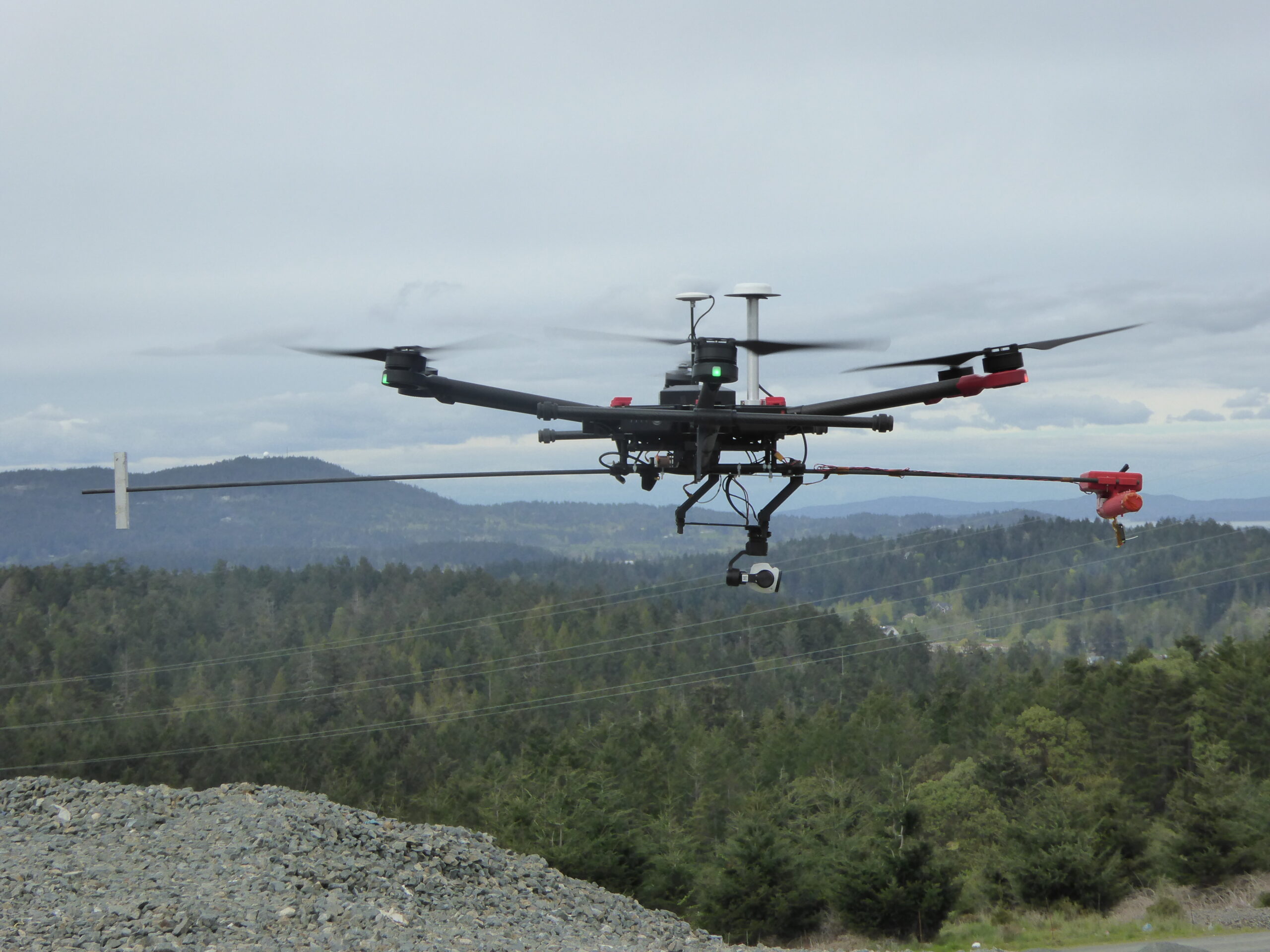
Below: One of the early Aerometrix rigs for methane detection. The sensor is at the forward end of the counter-weighted rod to keep it clear of prop wash.

Aerometrix

Aerometrix


Before we get more into what Aerometrix does (and how it does it), we should point out there’s an InDro Robotics connection here. InDro CEO Philip Reece, along with Michael Whiticar, founded the company. Aerial operations for Aerometrix are carried out by InDro Robotics.

“We felt there was a void in the marketplace for the detection of methane and other gases,” explains Reece. “We also wanted to approach this from an engineering-first perspective, ensuring that we were using, and even developing, the best available sensors and workflow.”

Aerometrix uses two different types of sensors for methane detection. The first is the proprietary GasMap sensor, which is capable of detecting methane in parts per billion (ppb). This laser-based sensor had its origins at NASA’s Jet Propulsion Laboratory, where it was developed for Mars missions. Aerometrix has further refined that sensor and has used it to accurately map methane emissions at petrochemical plants, gas wells, landfills – and even on agricultural sites. (Animals, particularly cows, are a significant methane source.)

“GasMap uses laser spectroscopy,” explains Peter Sherk, an electronics engineer with Aerometrix. “It uses the absorption of lasers by methane to detect concentration. And it’s very precise – detecting not only its presence, but how much there is at a given point in time and space right down to parts per billion.”

The sensor maps methane (and other gases) by flying horizontally through the plume. When multiple passes at different altitudes have been completed, a “curtain” is obtained. (Don’t worry, we won’t ask you to carry out the calculation – besides, our FluxCurtain software does that.)

Flux Curtain

Zig-zag


As mentioned, the drone flies horizontally through the plume – with each parallel flight at a slightly higher altitude. The sensor is constantly capturing georeferenced data which Aerometrix then runs through software.

In the images below, you’ll see that zig-zag flight pattern. The blue lines at the bottom indicate methane concentrations. Not surprisingly, those concentrations begin to dissipate at higher altitudes as the methane plume mixes with the surrounding air.

The second image is what’s referred to as the actual “Flux Plane” – where the methane concentrations are represented visually by colour.

Methane Detection
Methane Detection

Efficiency


Though pipelines and facilities that handle methane are obvious places where detection is required, local city dumps are also interested in detecting – and even capturing – methane produced by buried garbage. But many are unaware of the efficiency and accuracy of using sensors like the GasMap mounted on a drone.

“A lot of landfills are doing methane detection already,” says Sherk, “but they’re using far less convenient methods. A lot of the time there’s someone walking back and forth with handheld sensors. With larger landfills any sort of grid pattern will take days and days – and walking over an old landfill can’t be a really healthy operation.Operating a drone is vastly more efficient. And the GasMap sensor is capable of detecting not only the presence of methane, but its concentration at various altitudes as the gas forms a plume and mixes with surrounding air.

Some landfills have been able to not only capture but exploit methane that was previously escaping. The Capital Regional District on southern Vancouver Island has been running a power generating plant on-site at the Hartland Landfill, fuelled solely by captured methane produced by decomposing garbage. It’s been doing so since 2004, creating enough energy to power 1,600 homes.

Recently, the volume of methane produced by the landfill has increased, and the power plant is nearing the end of its operational life. In 2023, the landfill will switch gears and process the biogas into natural gas – selling the product to FORTIS BC.

Kudos to the Capital Region District for having such foresight; the example also highlights how captured methane can be put to positive use.

Aerometrix has carried out surveys now at numerous landfills hoping to capture or otherwise mitigate methane emissions. Using FluxCurtain software, its reports turn what was previously an invisible problem into clear, actionable data that provide a clear picture of emissions and concentrations.

Methane Detection

Another sensor


We mentioned a second sensor also being used by Aerometrix. It’s called the LaserScan, and it’s a very lightweight sensor that also uses laser spectroscopy to detect the presence of methane.

Unlike the GasMap, the newer sensor is able to measure vertically. In other words, the drone can be flying directly above a plume and take a measurement straight down to the ground. While it’s not quite as precise as the GasMap sensor (parts per million, rather than parts per billion), the LaserScan does have an advantage when it comes to speed.

Because it does not rely on flying through the plume, the LaserScan is ideal for detecting emissions over large areas. By simply flying a grid pattern at a single altitude, it can rapidly identify emissions. At an altitude of 98.4′, it’s capable of detecting 500 ppm of methane with a plume diameter of one meter.

“While the Falcon is less precise than the GasMap sensor, it has a definite advantage when it comes to speed,” explains Keegan Richter, a mechanical engineer with Aerometrix.

In cases where greater precision is required, Aerometrix can fly two missions: The first with the LaserScan to rapidly detect the location of emissions – particularly over large landfills – followed by GasMap for parts-per-billion accuracy.

Methane Detection

InDro’s Take


We obviously have a special interest in Aerometrix, since InDro’s pilots and drones carry out its aerial missions.

Not surprisingly, since CEO Philip Reece is a co-founder, the mission of Aerometrix closely aligns with InDro’s guiding philosophy: Developing and utilising technology to increase efficiency and – whenever possible – contribute to positive change.

Arguably, the dramatic and apparently escalating shifts we’ve seen to global climate patterns are one of the most pressing problems on the planet. Methane is a key contributor to those changes.

The ability of Aerometrix to accurately detect methane emissions has already helped clients cap leaks and examine other methods for capturing this gas before it hits the atmosphere. Its missions have also meant that human beings are no longer exposed to hazardous environments while capturing data using handheld devices.

In our mind, those are both positive outcomes.

Interested in more information? You can contact Aerometrix directly here.

Volkswagen reveals passenger-carrying eVTOL

Volkswagen reveals passenger-carrying eVTOL

Volkswagen is entering the Urban Air Mobility world.

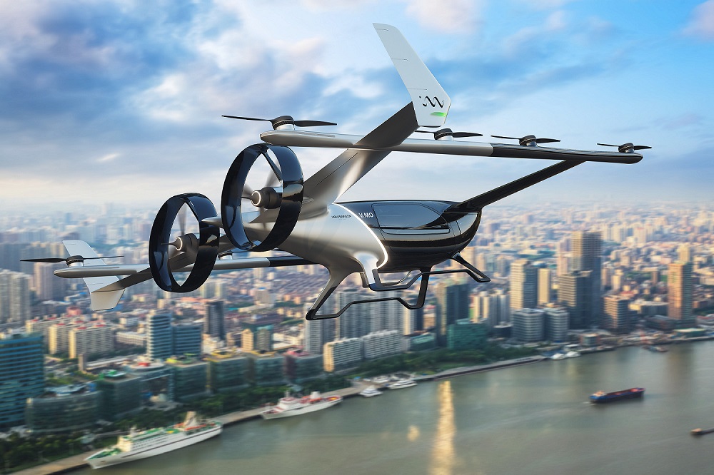
The company’s China division has unveiled it has been working on a passenger-carrying e-VTOL – and says it plans to commercialise it down the road. The prototype is called V.MO and is part of Volkswagen China’s Vertical Mobility project.

“Through this pilot project, we are bringing Volkswagen’s long tradition of precision engineering, design, and innovation to the next level, by developing a premium product that will serve the vertical mobility needs of our future tech savvy Chinese customers,” said Dr. Stephan Wöllenstein, CEO of Volkswagen Group China.

“This is a pioneering project which our young team of Chinese experts started from scratch – they are working with new design concepts and materials while developing new safety standards, disrupting and innovating every step of the way. Our long-term aim is to industrialize this concept and, like a ‘Flying Tiger’, break new ground in this emerging and fast-evolving new mobility market.”

The ‘Flying Tiger’ nickname refers to the prototype’s gold and black livery – which you’ll see in the photo below. We’ve added a second image with people for scale.


Volkswagen eVTOL
Volkswagen eVTOL
As you can see, lift comes from eight motors, four on each of the twin booms. Forward thrust comes from two motors. Length of the prototype is 11.2m with a span of 10.6m, so you won’t be landing this in your driveway. Presumably, the commercial version will take off and land from something like a heliport, offering passengers the option to quickly cross a congested city or head to a nearby destination.

“In its final future iteration, the fully electric and automated eVTOL could eventually carry four passengers plus luggage over a distance of up to 200km,” states a Volkswagen news release on the project.

This first prototype appears to be built for unmanned testing and validation. The company says several test flights of V.MO will take place later this year, with plans for an improved prototype to be flying in the summer of 2023.

And what might it look like? Well, probably something like this animation:

Though Volkswagen has plenty of engineering expertise on the ground, making something that flies isn’t really in its wheelhouse. That’s why the company has partnered with Hunan Sunward Technology, a manufacturer of light aircraft and drones.

The press release announcing the prototype made it clear that Volkswagen sees vast potential in Urban Air Mobility and products like these.

“Urban air mobility is a fast-emerging market which aims to utilize air space for short- and medium-distance connections, especially above and between large cities,” it states. “In China, it is set to play a significant role in the future of urban and intercity transportation in its congested megacities. In the first phase of its commercial use, V.MO is likely to be pitched as a premium product for high-net worth tech savvy Chinese customers, for example for VIP air shuttle services. eVTOL air vehicles will be able to transport passengers more quickly and efficiently than current conventional means of terrestrial transport and with greater flexibility. As the Vertical Mobility project develops, Volkswagen Group China will work with the relevant Chinese authorities to achieve certification.”

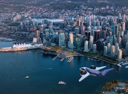
With the announcement, Volkswagen becomes the latest automotive player to stake a claim in this sector. Honda, Toyota, Aston Martin and others have announced they’re entering the space and have displayed concepts, prototypes or renders of their plans. Hyundai unveiled this Uber Air taxi concept a couple of years back:

Still some hurdles


Will we be seeing these vehicles – in real life – in the years to come?

The answer is yes, but there are still challenges that must be overcome. Urban Air Mobility envisions a future where eVTOLs will transit congested urban centres, whisking passengers who will likely summon these aircraft using mobile apps to nearby take-off and landing sites. UAM will also bring the option of convenient flight traffic between nearby cities where one or both do not have the infrastructure or demand to support traditional fixed-wing aircraft. Plus, the ability to deliver people or goods to central locations in a large city offers a convenience that eludes most traditional airports.

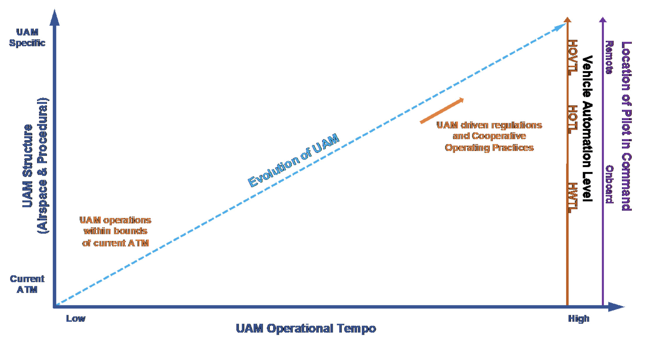
But getting there will take some time. These eVTOLs will face rigid certification, and require a robust Unmanned Traffic Management (UTM) system/network to ensure there’s no conflict with drones or other forms of aviation. Work on those fronts is underway. In fact, the White House even held a special summit on the topic August 3. The goal of that gathering was to explore “the future of aviation in America and the regulatory strategy towards responsible and equitable adoption of these technologies.”

It’s clearly firmly on the radar of regulators.

Multiple designs, including single-person eVTOLs


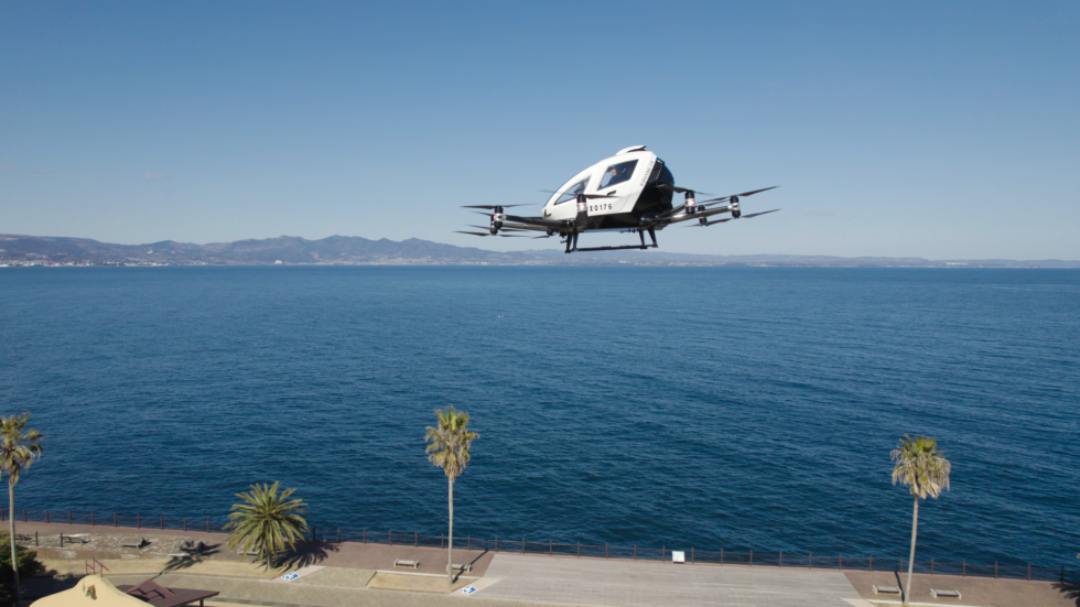
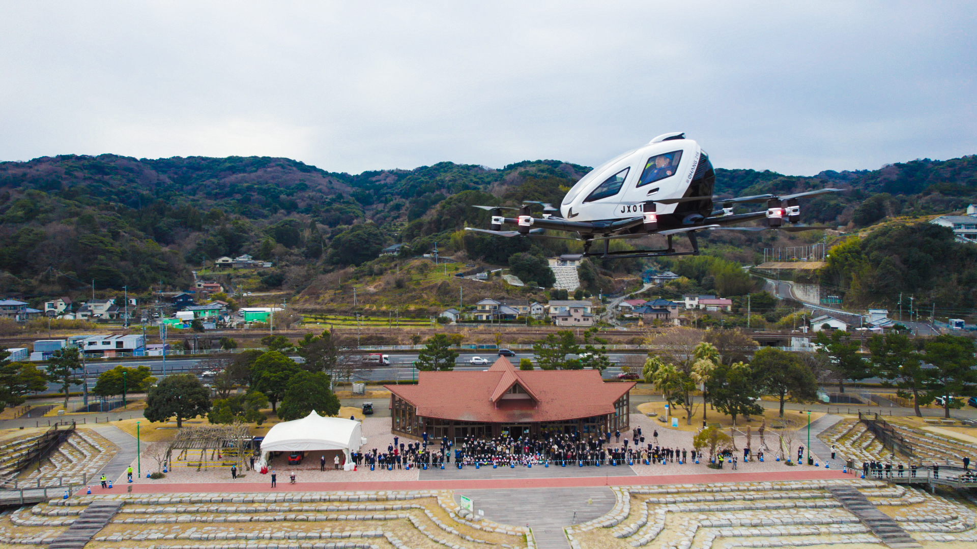
There are many different companies vying for a piece of this territory. Perhaps the one with the greatest advantage is China’s eHang, which produces one- and two-passenger autonomous vehicles that have carried out a growing number of autonomous flights carrying people. The company is also apparently at work on a two-passenger, fixed-wing eVTOL for longer-range flights.

The company has already carried out autonomous tourism flights and appears to have a spotless safety record.

Personal eVTOLs


In the Urban Air Mobility world, there are greater efficiencies with aircraft capable of carrying multiple passengers (or heavier cargo loads). But some manufacturers are targeting the single-occupant market. Specifically, they’re building products for people who would like to not only pilot these aircraft, but own them.

The leader on this front appears to be Swedish company Jetson, which manufactures a single-person eVTOL that is flown by the pilot. The Jetson One costs $92,000 US and is in production. It’s unclear how many the company will produce annually, but it has received enough orders that Jetson is completely sold out for 2022 and now taking orders to be shipped in 2023.

We can’t resist dropping in another video, because this actually does look like fun.


And finally…a Canadian connection


We’d be remiss if we didn’t point out another very unique company in this space. It’s called Opener, and its vehicle is the BlackFly. It’s a very intriguing design that was the brainchild of a retired Canadian engineer with a fancy for flight. That engineer is Marcus Leng.

He first developed the concept for the amphibious vehicle (yes, it can land on and take-off from water) in 2009. In 2011, he flew the first proof-of-concept prototype from his front yard in Warkworth, Ontario.

Since then? Well, the company has carried out more than 4,300 flights, covering more than 56,000 kilometres. It has flown manned demo flights at the big airshow in Oshkosh, and is about to release the product for sale.

The cost? There’s not a definitive figure yet, but the company promises it will be about the cost of an SUV. It qualifies in the ultralight category, meaning owners won’t require a private pilot’s license.

And yes, we’re pretty intrigued by this. Kudos, Marcus Leng. Oh – and this video? It’s from back in 2018, so we can only imagine what refinements have been made since then.

InDro’s Take


As we know from our extensive work in the aerial and ground robotics worlds, technology continues to rapidly advance. That translates into better components, flight controllers, battery efficiency, simulations – and, ultimately, reliability and safety.

There is still a ways to go, as mentioned, on the certification and UTM front for many of the multi-passenger vehicles under development. But we do see such aircraft taking hold in the future – offering new and more sustainable options for the delivery of goods and people over short distances.

If you’re interested in this field, we highly recommend you check out the Canadian Advanced Air Mobility Consortium. The organization already has some 70 members (including InDro Robotics) who are working collaboratively to help shape the future and work with regulators. Advanced Air Mobility/Urban Air Mobility promises a future of exciting possibilities that will benefit both passengers and communities, particularly since many of these aircraft can be used to deliver critical goods and supplies on-demand and autonomously.

It’s a future we look forward to – and it’s definitely on the horizon.

Spexi offers broad range of geospatial tools for drone pilots

Spexi offers broad range of geospatial tools for drone pilots

A Canadian firm has been quietly gaining customers – and a reputation – with its broad palette of geospatial tools for drone operations.

That company is Vancouver-based Spexi.

And while it might not be a household name yet, a growing number of professional drone operators are using its palette of tools (including its mobile app), to plan efficient and accurate flights for the gathering of geospatial data.

The Spexi platform has been designed for a wide variety of sectors requiring actionable data from above, including real estate, construction, precision agriculture and more.

On the real estate front, here’s an example of a panorama produced with Spexi. Get in there with your mouse and scroll around. You can also zoom via scroll or pinching on your trackpad.

The big picture


That panorama was seamless, and with great resolution even zoomed in. But it’s only one of many offerings on the Spexi platform. So let’s take a step back for a look at the bigger picture.

The Spexi website outlines the company’s many offerings, along with features of its powerful mobile app.

In terms of data products, Spexi offers the following:

  • 3D models and point clouds showing proportionality of the building and structural features
  • High resolution image galleries with annotations for easy collaboration
  • Up-to-date Google Map tiles showing the property with the ability to measure slopes & volumes and annotate features
  • High resolution image galleries with annotations for easy collaboration
  • 360˚ panoramas with hot spots for points of interest

Here’s a look at a volumetric calculation captured and computed via Spexi. Beats trying to do this manually:

Spexi

The Spexi app


A large part of the Spexi value proposition is its mobile app. It allows pilots to quickly plan flight parameters, carry out autonomous data capturing missions, upload and crunch the data – and share the resulting files with stakeholders.

Specific features of the app include:

  • Planning tools for efficient and accurate data acquisition
  • Autonomous flight using the latest DJI drones
  • Secure, cloud-based footage processing and sharing
  • Spexi can carry out survey work using Ground Control Points.

Not a pilot but need a job? Spexi offers access to its network of pilots who can take on the mission on your behalf.

Cost?


Good question. Spexi offers a couple of options here, suitable both for those requiring the odd one-off job as well as Enterprise users.

If you’re interested in only the occasional mission, Spexi offers both value and incentive via its “credit” option. Sign up for a free account and you’ll receive five credits. A single credit can be used for a job like the panorama you saw above. A single credit covers up to 100 uploaded images and processing. So just by signing up you can cover five jobs like this. Additional credits can be purchased for $15 each.

Users with high volume processing needs can sign up for the monthly plan. It allows for the processing of up to 3,000 images per month at a cost of $300 per month. If you’re an ultra heavy user, Spexi offers packages for requirements exceeding 3,000 monthly images.

“Our goal is really to help companies and people transform their operations to be more efficient using drones and make better decisions with drone-based data,” explains Spexi Chief Operating Officer Alec Wilson – a helicopter pilot with a degree in geography and remote sensing. He was also a key part of the team that built Coastal Drones into a large online learning platform.

“Spexi is really the only Canadian drone software-based platform that can service contracts at this scale,” he says.

Spexi has already received a vote of confidence from the federal government. Innovative Solutions Canada offered financial backing to Spexi on its path to commercialization and enabled testing and evaluation of the product, including some pretty ambitious missions. Here’s COO Wilson, in a video explaining just one of multiple projects it carried out as a result.

Just the beginning


Though Spexi is already an easy-to-use platform with mutiple use-cases, expect more features to come. With the promise of routine BVLOS flight hopefully somewhere around the corner, COO Alec Wilson has ambitious plans for the near future.

“Looking into the future, we see our platform being used to produce drone-based data at much larger scales,” he says.

“There are some amazing new emerging technologies that enable collaboration in ways we have never seen before.  We are in the infancy of this technology, and we at Spexi have some big plans to get drone-based data into the hands of those who need it most including leveraging BVLOS capabilities once available.”

Plans also include collaboration and integration with the FLYY training platform, enabling students to take a deep dive into Spexi’s capabilities. More on that soon.

InDro’s Take


We’re pleased to see a Canadian data acquisition and processing company begin to make its name in the field. While it’s up against some stiff competition from larger photogrammetry companies, the Spexi platform is simple to use and powerful – with plans for enhanced capabilities as the industry evolves. Its option for pay-as-you-go credits for those requiring one-off missions is attractive and a great way to test the waters (especially with five free credits on sign-up).

InDro Robotics has some collaboration underway with Spexi, and anticipates this relationship will only grow. More details on that…down the road.

CONTACT

INDRO ROBOTICS
305, 31 Bastion Square,
Victoria, BC, V8W 1J1

P: 1-844-GOINDRO
(1-844-464-6376)

E: Info@InDroRobotics.com

copyright 2022 © InDro Robotics all rights reserved

High-tech jobs aplenty in Ottawa – including with InDro Robotics

High-tech jobs aplenty in Ottawa – including with InDro Robotics

Ask someone what they know about Ottawa, and odds are they’ll say it’s home to the Federal Government, multiple world-class museums and the ByWard Market – a destination for locals and visitors alike.

Increasingly, however, the nation’s capital is also becoming known as a high-tech hub. With facilities like the cutting-edge Area X.O – where robotic vehicles and drones are tested daily – Ottawa is becoming something of a technology magnet.

There’s data to back that up. Silicon Valley’s Gigamon recently announced plans to locate a new R&D facility in Ottawa, and the tech sector currently accounts for 11.3 per cent of all jobs in the city.

“When reviewing potential expansion opportunities in North America, we considered a number of attractive options,” Shane Buckley, president and CEO at Gigamon told Invest Ontario. “Ottawa’s diverse workforce and bustling tech community made it the clear choice.”

Taken together, it adds up to jobs.

Below: InDro Robotics engineer Ahmad Tamimi solving problems at Area X.O

Canada Robotics

Job alert


A new blog post from Invest Ottawa highlights ten Ottawa high-tech companies that have current current job openings – with many of them advertising multiple openings.

Just one example? RideShark – a mobile app that offers multiple and seamless transportation options – has three positions open: Front-End Developer, Mobile App Developer and Business Development Sales Manager

Here’s more about what RideShark does:

Wait – there’s more!


In the Invest Ottawa blog about those jobs, there was also an opening highlighted at InDro Robotics. Here’s a screen grab from the blog, which offers some of the details.

High Tech Jobs

InDro’s Take


Well, let’s be honest. We can’t help but be a little biased here.

InDro Robotics is a great place to work. We value team-playing, problem-solving people. Our engineers routinely work together on projects, and also alone – but always within a collaborative atmosphere. We have a diverse group of employees and our retention level is outstanding. Plus, working for InDro is fun: You might be flying a drone one day, or working on a ground robot the next. Trust us on this: No one gets bored.

We have multiple positions open at the moment, including some at our Area X.O location – and others in beautiful British Columbia.

Interested? You can check out the open positions on this page.

Consumers ready for drone delivery: Auterion

Consumers ready for drone delivery: Auterion

Consumers love their deliveries.

Whether it’s from hugely popular Amazon or a local retailer, there’s been an explosion in demand for deliveries since the COVID pandemic took hold. People have largely embraced the convenience of a truck pulling up and dropping off goods – despite the carbon footprint of Last Mile deliveries.

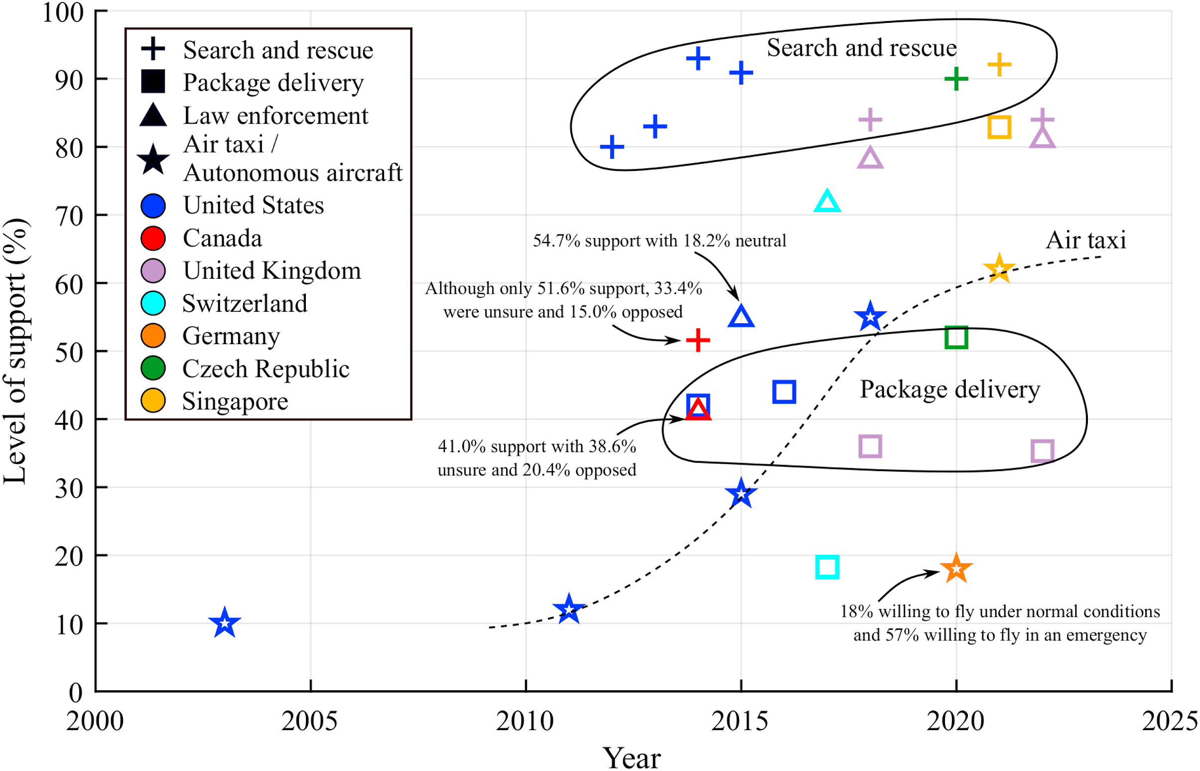
But what about drones? Are consumers ready to embrace drone delivery? According to the drone Open-Source company Auterion, nearly half of US consumers are indeed ready to start receiving goods from above.

Auterion

Auterion is a major force in the drone world. In a nutshell, it provides “an ecosystem of connected drones, payloads, and apps within a single easy to use platform based on open-source standards.” In other words, Auterion software simplifies the workflow of all aspects of drone operations. Auterion works with more than 100 drone manufacturers – and that number is growing.

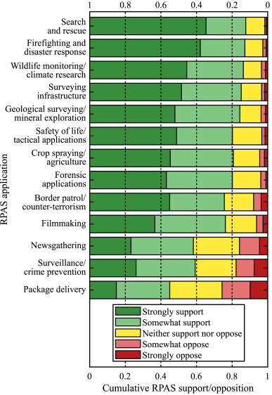
Because its software is used by so many end-users, the company thought it would be a good idea to take the pulse of consumers when it comes to drone deliveries. So it surveyed more than 1000 people to produce a report entitled “Consumer Attitudes on Drone Delivery.”

Its findings? Americans are ready.

The report found “a solid majority of Americans (58%) favor the idea of drone deliveries and even more (64%) think drones are becoming an option for home delivery now or will be in the near future. With more than 80% reporting packages delivered to their homes on a regular basis, the survey finds that Americans are generally ready to integrate drone delivery into daily life.”

And of the 64 per cent who think drones are an option for home delivery, here’s the breakdown for when they believe this will become a viable option:

  • 32% think it’s possible now or within the next 1 to 2 years,
  • 18% say within 3 to 4 years, and
  • 14% within 5 to 10 years

While that’s encouraging, the Auterion report also found some hesitancy.

Auterion Drone Delivery

Not everyone is enthused


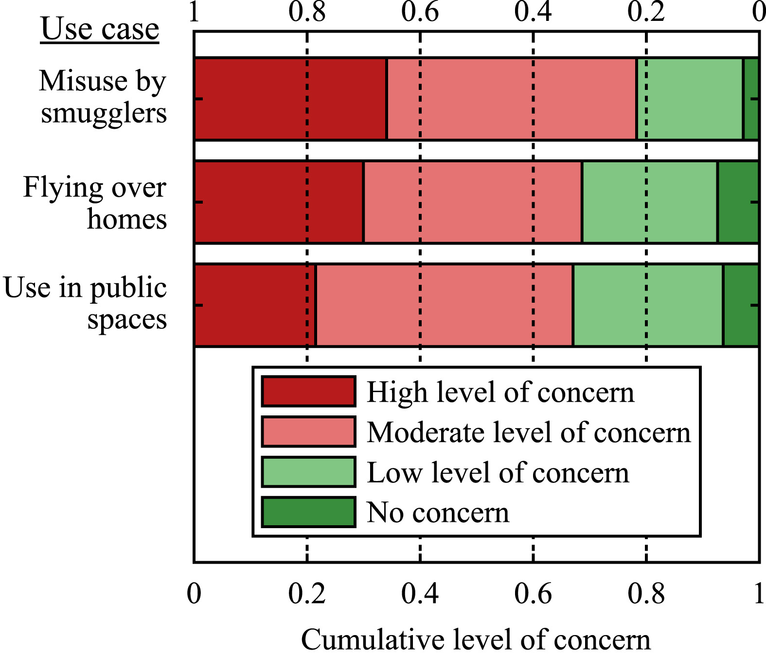
There is some hesitancy. In fact, 43 per cent of those surveyed feared that the drone might break down during delivery. Other concerns include:

  • 39% – the drone will deliver my items to the wrong address,
  • 38% – if something happens to the drone, I won’t get a refund,
  • 37% – that my items will get ruined by the travel,
  • 35% – that my items will be left unattended making stealing easier for porch bandits, and
  • 32% – that the sky will be cluttered with ugly/noisy technology.

On that last concern, Alphabet’s WING discovered during its early trials in Australia that there was significant opposition to the noise produced by its drones. (The fact WING drones have 14 propellors might have played a role here.)

But there’s ongoing work on reducing drone noise levels, including some innovative new propellor designs. As for some of the other concerns raised, Auterion CEO Lorenz Meier says drones are ready for the task.

“Cargo drones are now able to understand the environment with precision, to communicate through control software in a common language, and to predict safe landing spots in real time for fast package delivery, as well as emergencies and other situations,” says Meier in the report.

“While traffic is jammed and fuel prices are volatile, air space is massive and becoming more accessible. Reducing reliance on gas-powered delivery vehicles with tough, environmentally friendly cargo drones is ultimately a safer, more flexible and more cost-effective approach to delivery.”

The technology is ready. So too, it appears, are most American consumers.


Drone Delivery Canada

InDro’s Take


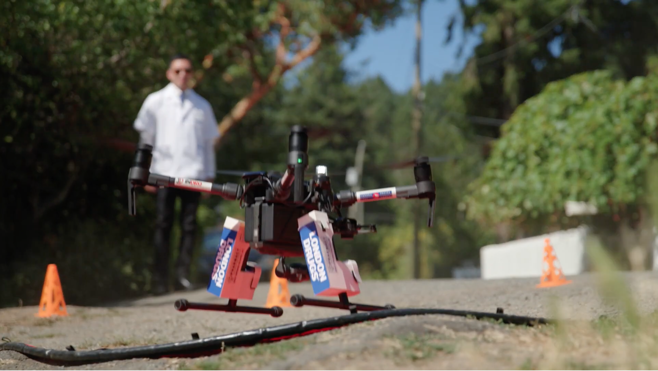
InDro played an early role in proving drone deliveries in Canada. The company has shuttled presciption medications to remote locations, transported simulated blood products between hospitals – and even delivered COVID-19 testing supplies for a island-based First Nations community during the peak of the pandemic. InDro Robotics was also the first company in Canada to receive a Cargo License from the Canadian Transportation Agency.

While we acknowledge there’s demand for drone deliveries, our own view is that this technology is perhaps best initially served by delivering urgent medications or other critical supplies to remote or isolated communities and homes.

There’s certainly an argument to be made on the environmental benefits of drones for Last-Mile delivery. But delivering coffee and bagels – though convenient for consumers – could be disruptive to neighbourhoods. We suspect city-dwellers are likely to be more accepting of drone deliveries when the cargo is critical, and not incidental.

Ultimately, and with reductions in noise, there will likely be room for both.

The Auterion survey contains far more insights than we were able to capture; you can read more and download the report here.