Putting Sentinel through its paces at EPRI
By Scott Simmie
There’s testing. And then there’s “real-world” testing.
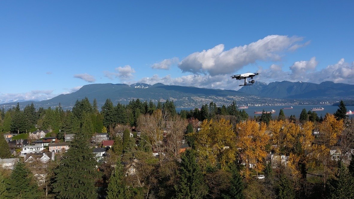
For example, InDro Robotics builds and tests drones and ground robots. We do this constantly, pushing for continuous improvements (and even breakthroughs) with our products. In BC, we’re frequently flying missions to test cellular connectivity or our new proprietary drone software, InDro Pilot.
At Area X.O in Ottawa, we routinely deploy our ground robots on missions to test tele-operations, new sensors, and even autonomous functions. (We have a real advantage here, because Area X.O is made for robots. There are several roads – and even traffic lights – designated for testing and use by autonomous vehicles.)
And while such research always provides us with useful data, it’s just not the same as putting technology to the test in a real-world environment.
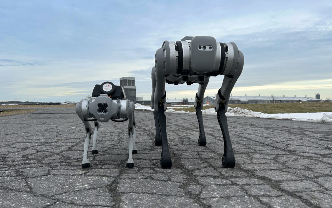
That’s why we took Sentinel – our custom-built robot for monitoring and inspection at remote facilities – to Massachusetts.

The EPRI challenge
EPRI stands for the Electric Power Research Institute. It’s a non-profit energy research, development and deployment organisation. EPRI is constantly doing research – collaborating with more than 450 private companies across 45 countries globally. The purpose, according to its website, is to “ensure the public has clean, safe, reliable, affordable, and equitable access to electricity across the globe.” EPRI shares its research with members, which represent virtually all facets of the power generation and delivery sector.
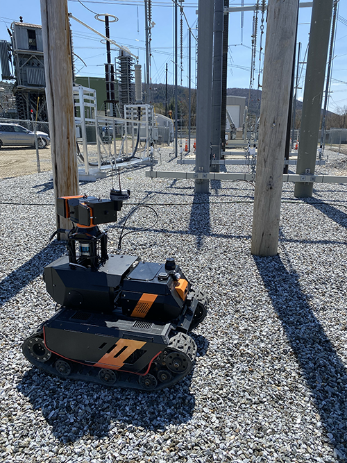
EPRI has multiple research facilities, including one in Lenox, Massachusetts. This particular location features an electrical substation that can be energised, de-energised – and can even simulate rain for testing purposes.
Earlier this year, InDro Robotics was one of a small number of companies to participate in research to analyse the effectiveness of remotely-operated and autonomous ground robots in a variety of conditions. The purpose was to determine the ability of such devices to carry out inspection and monitoring – including whether these robots could detect problems such as arcing.

The InDro Team
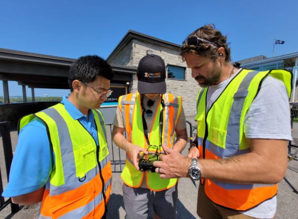
We dispatched InDro Account Executive Luke Corbeth and Robotics Engineer Austin Greisman (along with Sentinel, of course) to the EPRI facility in Lenox, Massachusetts.
“EPRI’s goal for this program was to evaluate technologies that are capable of 24/7 autonomous substation inspection and security monitoring,” explains Corbeth. “This put Sentinel in a real substation environment, to conduct inspections and security patrols amidst powerful electrical currents.”
In fact, there was a series of specific tests during the week-long demonstration. These included all permutations of the following:
- With the substation energised and de-energised
- With simulated rain and without rain
- During daylight and at night
That makes for eight separate missions carried out in different conditions – including an energised substation with simulated rain during nighttime, and a de-energised substation on a clear day.
In addition, each of the above eight missions was carried out both via remote teleoperations – and also autonomously. Factor that in, and there were 16 separate challenges.
And that’s not all. EPRI engineers carried out their own tests on Sentinel, seeing how well it handled inclines, manoeuvres through mud, what weight it could carry at what speeds, and battery life. On these tests, Sentinel performed very well.
“Once we were on site, the value that Sentinel brings to utilities became very apparent – especially identifying thermal signatures to identify (overheating) components onsite or intruders trying to break in,” says Corbeth.
“The performance at night and during simulated rain tests was very successful. They actually have hoses that go overhead and can blast the site with water.”
FYI, the image below is a screenshot from the secure, browser-based controller for Sentinel. The operator can see all key parameters, control propulsion and camera systems, in real-time.

Lessons learned
At the outset, we told you this was very much a real-world test for Sentinel. If this article were simply a piece of marketing, we’d tell you that everything went perfectly. But it didn’t, and there were lessons learned.
For one thing, we discovered that Sentinel’s track-based locomotion – though ideal in numerous demanding terrains – fell somewhat short in the heavy gravel bed of this substation. Pieces of gravel got caught in the tracks from time to time. As a result, we’re now building a rugged wheel-based variant of Sentinel specifically for this kind of surface (though the tracked version will still be available).
We also faced some challenges with autonomous missions. For one thing, at the time of testing Sentinel did not yet have an optical-based docking system for wireless re-charging (it does now). We also originally thought that a GPS-based guidance system would work in this environment. And while it did, we soon realized that SLAM (Simultaneous Localisation And Mapping) would be a better option. That feature will be integrated into Sentinels going forward.
“The opportunity to get onsite enabled us to test our autonomy package and understand what it’s good at, as well as what needs to be improved,” says Corbeth. “We believe we’re well on our way to a complete, 24/7 autonomous solution. I’d say we’re 85 per cent of the way there. This is new technology”
InDro Engineer Austin Greisman on-site in Lenox with Sentinel

InDro’s Take
Research and development, as we often say, is at the very core of InDro Robotics. And a big part of R&D is testing outside of the confines of the lab.
And while we were very pleased with many aspects of Sentinel’s performance in the field, we also identified areas where there was room for improvement. Sentinel is now capable of fully autonomous docking to its wireless charging station, and we’re well along the path with fine-tuning SLAM on this device.
Full autonomy, as many of you know, is a difficult challenge. Whether it’s ground robots or drones, InDro has always taken a “Crawl, Walk, Run” approach. Sentinel is now hitting its stride with walking – and getting ready to run.