InDro attends Robotics Summit & Expo in Boston
By Scott Simmie
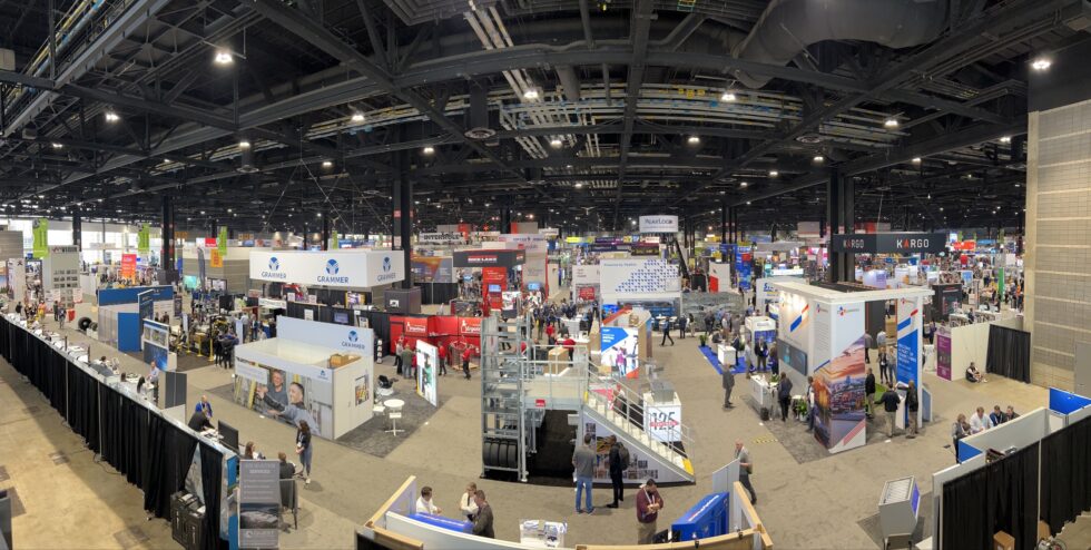
There’s nothing like a little trip to Boston at this time of year. Especially when the annual Robotics Summit and Expo is on.
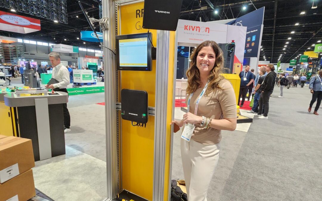
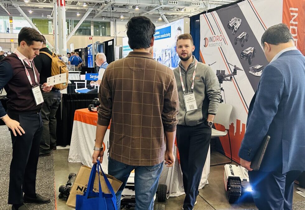
InDro dispatched Account Executive Luke Corbeth and Head of Strategic Innovations Stacey Connors to the show, along with a number of devices either manufactured or distributed by InDro Robotics.
And it was busy. So busy, that it produced a quote we never anticipated.
“I only had time for one pee break all day and didn’t stop talking,” laughs Corbeth.
Between demonstrating a dog-like robot and other devices, speaking with attendees and potential clients, Corbeth says the tempo was absolutely surreal – with a steady stream of people at the InDro booth wanting to learn more about the company and its solutions.
“Honestly our booth was too busy,” adds Connors. “We needed two of us there, manning it nonstop.”
But that’s a good problem to have.
There was a large number of startups in attendance, as well as engineering students, professors, and others from the world of robotics, robotic medicine/surgery and academia. In conversations, Corbeth says many were keen to learn of InDro’s expertise as an integrator.
“A lot of people told us they were having difficulty building their own hardware. They really tinker with hardware and struggle with integration. For someone trying to build an autonomous inspection solution, for example, it can be challenging to focus on what you actually want to do achieve if you’re spending so much time on the hardware.”
Below: Team InDro during a microsecond when the booth wasn’t swamped:

PLENTY OF GEAR
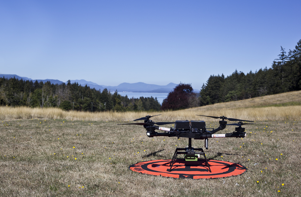
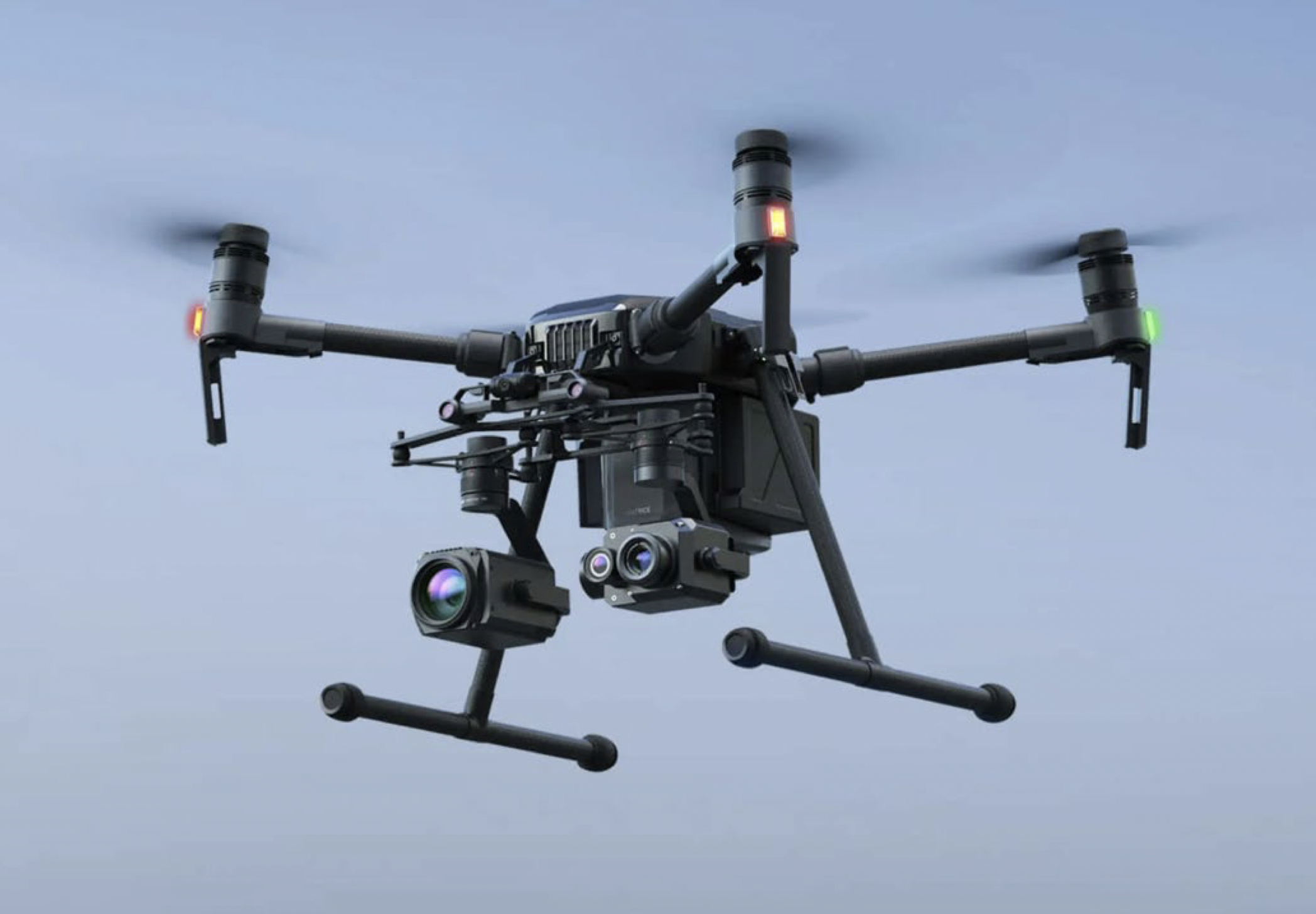
InDro took a number of products the company has developed or distributes to the show. The Unitree GO1 EDU, seen in the photo above, was a big hit. But there was plenty of interest in InDro products including our new indoor drone – which has capabilities not available with standard commercial drones.
“It’s a ROS-based drone,” explains Corbeth. “It has compute onboard, a depth camera, a 4K camera, and 5G connectivity for remote teleoperations. With a standard DJI drone you don’t have the same ability to develop autonomous and custom applications. But ours can be programmed in ROS (Robot Operating System), which enables different sorts of projects that off-the-shelf drones just can’t do.”
There were plenty of engineering students – many specialising in robotics and mechatronics – at the Expo. It’s a sign, if any were needed, indicative of the massive growth in the industry.
“The students really see that,” says Corbeth. “So they put their efforts into learning how to design and build and improve these types of robots and want to be part of that going forward.”
MASSROBOTICS
Massachusetts has a thriving robotics community, including more than 400 companies that build or utilise robotic solutions. And there was a big presence at the show from MassRobotics, a non-profit innovation hub, accelerator and incubator for robotics and connected devices startups. It offers support and expertise as entrepreneurs move from envisioning a solution through to eventual production and commercialisation. The organisation also frequently teams with industry partners to issue robotics challenges, where university teams try to fulfil specific challenges in order to win cash prizes.
“We help bridge the gap and connect our startups to potential customers and investors, offering facilities and platforms to showcase their technology,” says its website. “MassRobotics’ mission is to help create and scale the next generation of successful robotics technology and connected devices companies by providing innovative entrepreneurs and startups with the workspace and resources they need to develop, prototype, test and commercialize their products and solutions.”
Because of that mission, there was real interest in InDro’s capabilities, says Corbeth:
“They showcased a number of student-led projects, so it was nice to see what the academic world is building. They also seemed intrigued at the idea of jump-starting their projects with InDro’s integration abilities.”
InDro also told MassRobotics staff about the forthcoming drone and robot advanced training, testing and evaluation site coming soon to Area X.O.
“They lit up when I talked about the testing site at Area X.O,” says Connors, who is hoping to arrange potential collaboration between MassRobotics, Area X.O and Invest Ottawa. “It’s all about opening doors.”
Below: An image from the MassRobotics website, showing some of the 400 companies manufacturing or utilizing robotics in Massachusetts.

CLIENT VISITS
For Luke Corbeth, who drove down with a car absolutely jammed with robots and a drone, the Robotics Summit & Expo was just part of a very busy week. He also visited clients at the University of Massachusetts, as well as Boston University’s College of Engineering – which has purchased a fleet of Limo R&D robots. (The department is apparently doing research involving using the robots in collaborative swarms.)
It was an opportunity he welcomed.
“In the post-Covid era, a lot of interactions are online so it’s nice to actually meet the clients face-to-face, hear about their problems and successes and use that feedback to better service them and improve our products.”
And a personal highlight for Luke? A booth visit from Aaron Prather, Director of the Robotics & Autonomous Systems Program at ASTM International. Prather is followed by nearly 40,000 people on LinkedIn, where he posts prolifically on developments in the field of robotics.
“I feel like I met the Michael Jackson of robotics,” says Corbeth.

INDRO’S TAKE
We were pleased to make some connections – and likely some sales – at the Robotics Summit & Expo. We were also pleased to see the immense interest in what InDro does (something we covered at length in a post here).
“While conferences often bring sales, sometimes exposure and making new connections are just as valuable – or more,” says InDro Robotics CEO Philip Reece.
“We’ve developed many partnerships that began as simple conversations at events like these, and we look forward to building more.”
We generally give advance notice when we’re attending conferences via LinkedIn and Twitter. Give us a follow and stay up to date on InDro developments.

-thumb")